Professional Drone Services
Comprehensive aerial solutions for real estate, construction, inspections, and more. Every project receives personalized attention and professional-grade deliverables.
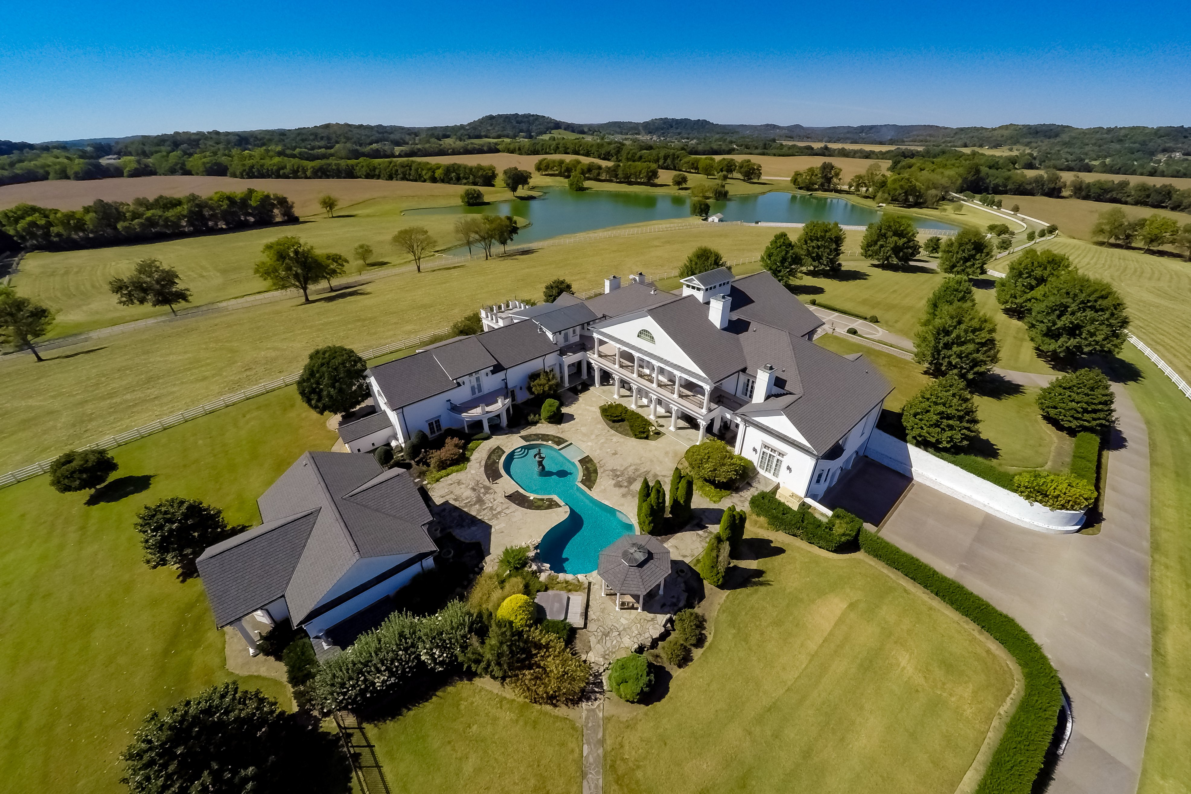
Real Estate Photography & Videography
Showcase properties from stunning aerial perspectives that capture the full scope of listings, surrounding amenities, and neighborhood appeal.
Key Benefits
- Stand out from competing listings with unique aerial views
- Highlight property boundaries, land features, and lot size
- Showcase proximity to amenities, schools, and attractions
- 4K video tours that engage potential buyers
- Fast turnaround for time-sensitive listings
Ideal For
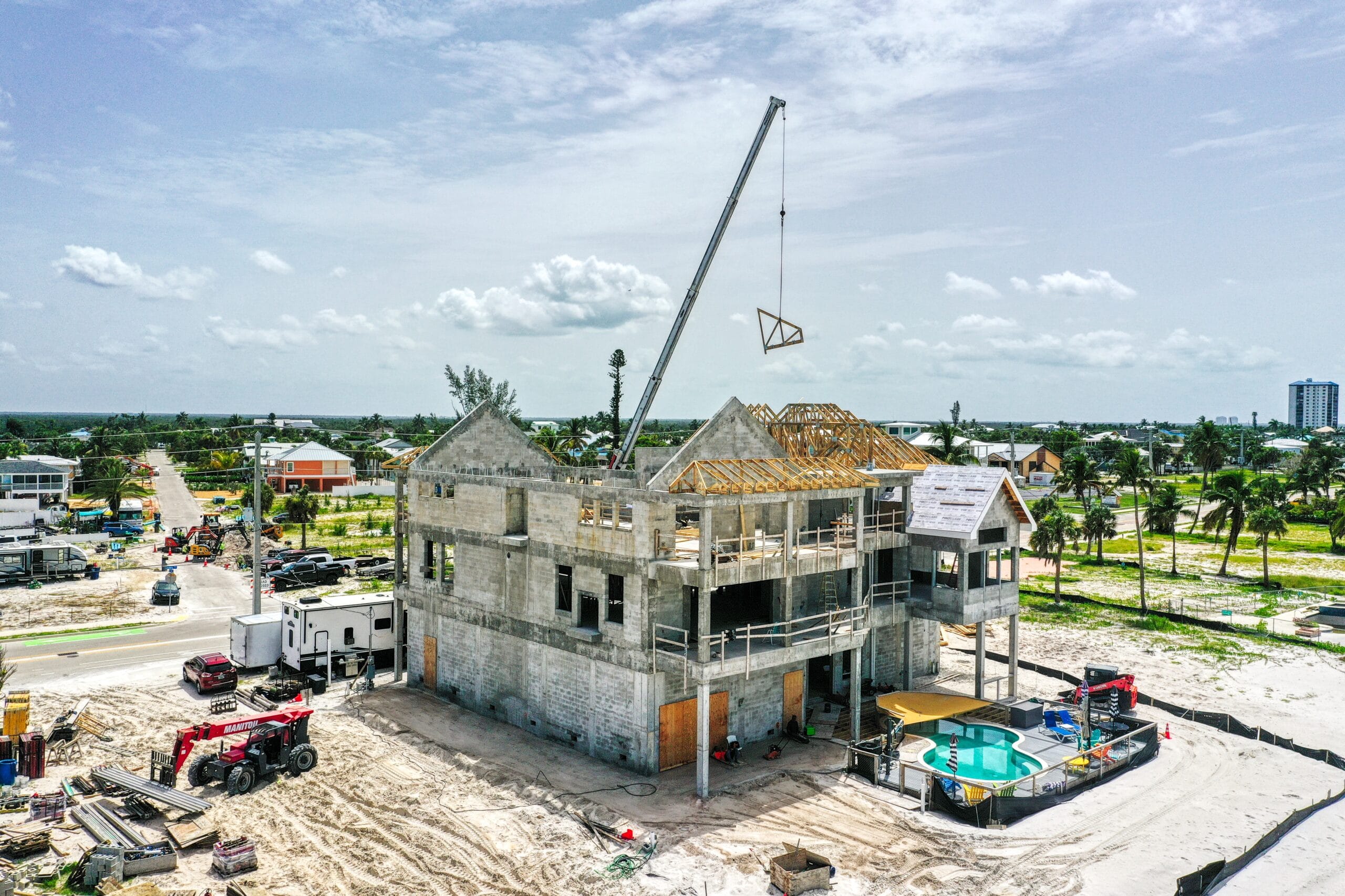
Construction Site Monitoring
Document construction progress with regular aerial surveys that keep stakeholders informed and projects on schedule.
Key Benefits
- Track progress over time with consistent aerial documentation
- Share visual updates with investors and stakeholders
- Identify potential issues before they become problems
- Create compelling time-lapse videos of project completion
- Improve site safety with overhead visibility
Ideal For
Surveying & Mapping
Precise aerial mapping and surveying services for land assessment, development planning, and environmental monitoring.
Key Benefits
- High-accuracy orthomosaic maps and terrain models
- Cost-effective alternative to traditional surveying
- Cover large areas quickly and efficiently
- Detailed elevation data and contour maps
- Integration with GIS and CAD software
Ideal For

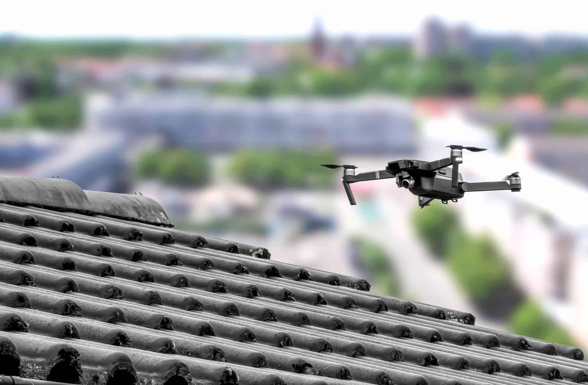
Inspections (Roof, Infrastructure, Facade)
Safe, efficient inspections without scaffolding or putting personnel at risk. Get detailed visual data for maintenance planning.
Key Benefits
- Eliminate safety risks associated with manual inspections
- Access hard-to-reach areas safely and efficiently
- High-resolution imagery for detailed analysis
- Comprehensive inspection reports with findings
- Significant cost savings vs. traditional methods
Ideal For
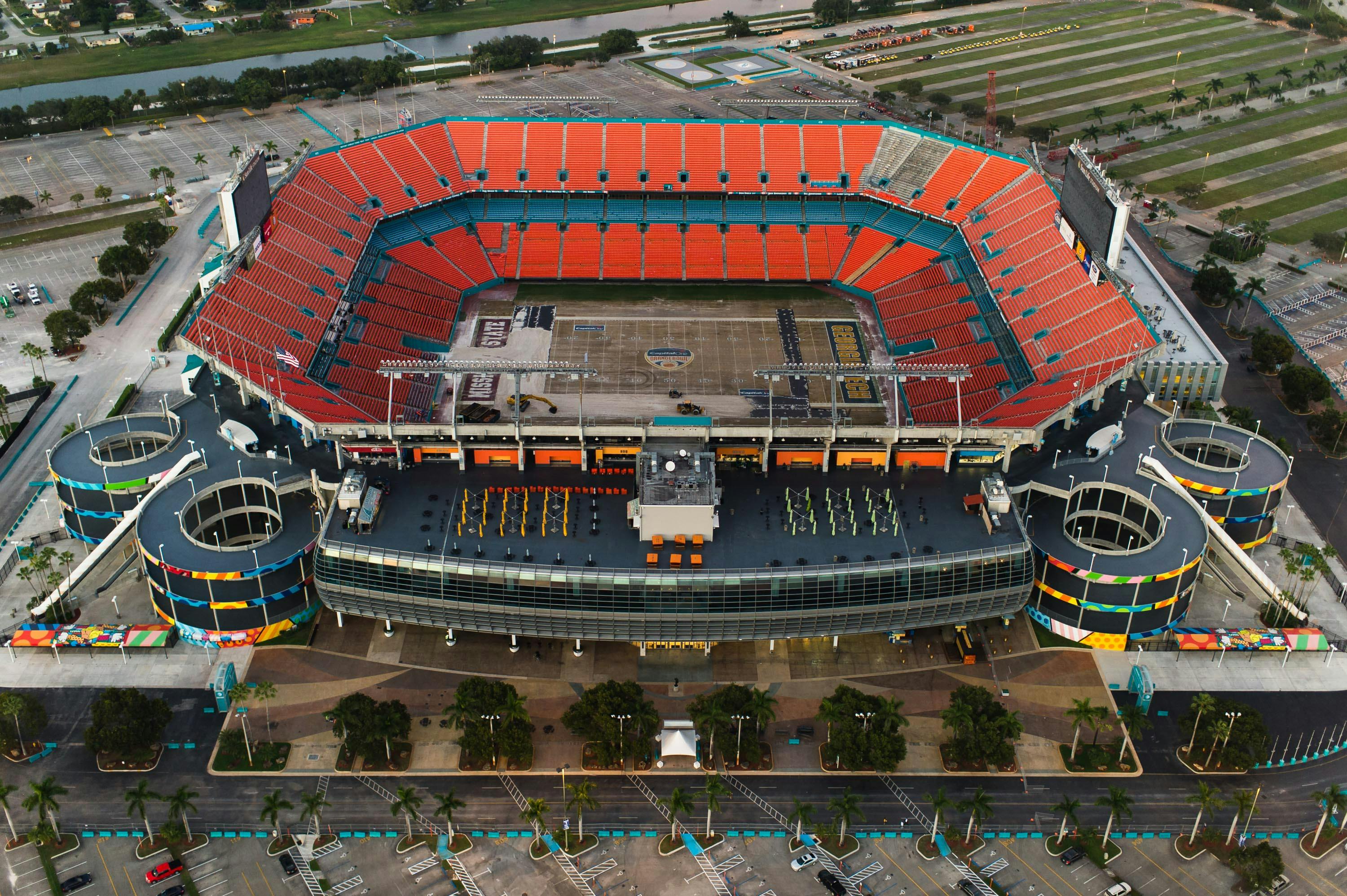
Event Coverage
Capture memorable moments from unique aerial perspectives that make events unforgettable.
Key Benefits
- Dramatic aerial shots that wow audiences
- Live event monitoring and coverage
- Professional video production for marketing
- Crowd and venue documentation
- Social media-ready content
Ideal For
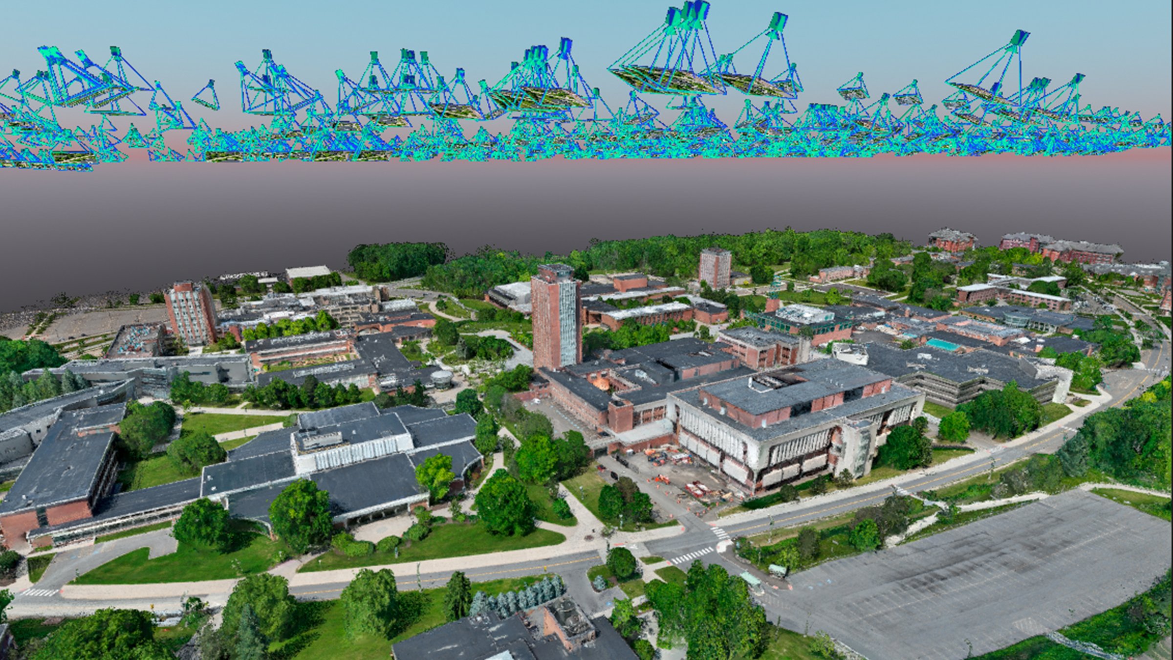
3D Mapping & Modeling
Create detailed 3D models and maps for visualization, analysis, virtual tours, and accurate measurements.
Key Benefits
- Photorealistic 3D models from aerial imagery
- Accurate measurements and volumetric calculations
- Virtual tours and interactive experiences
- As-built documentation for construction
- Historical preservation and documentation
Ideal For
Ready to Get Started?
Contact us today for a free consultation and customized quote for your project. We're here to help you achieve the perfect aerial perspective.