Agricultural Drone Mapping: Optimize Crop Health & Maximize Yields
Precision agriculture is transforming farming. Learn how NDVI mapping and aerial surveys help farmers reduce input costs by 30% while improving crop yields.
Chris Patterson
FAA-Certified Drone Pilot
Precision Agriculture: See Your Farm Like Never Before
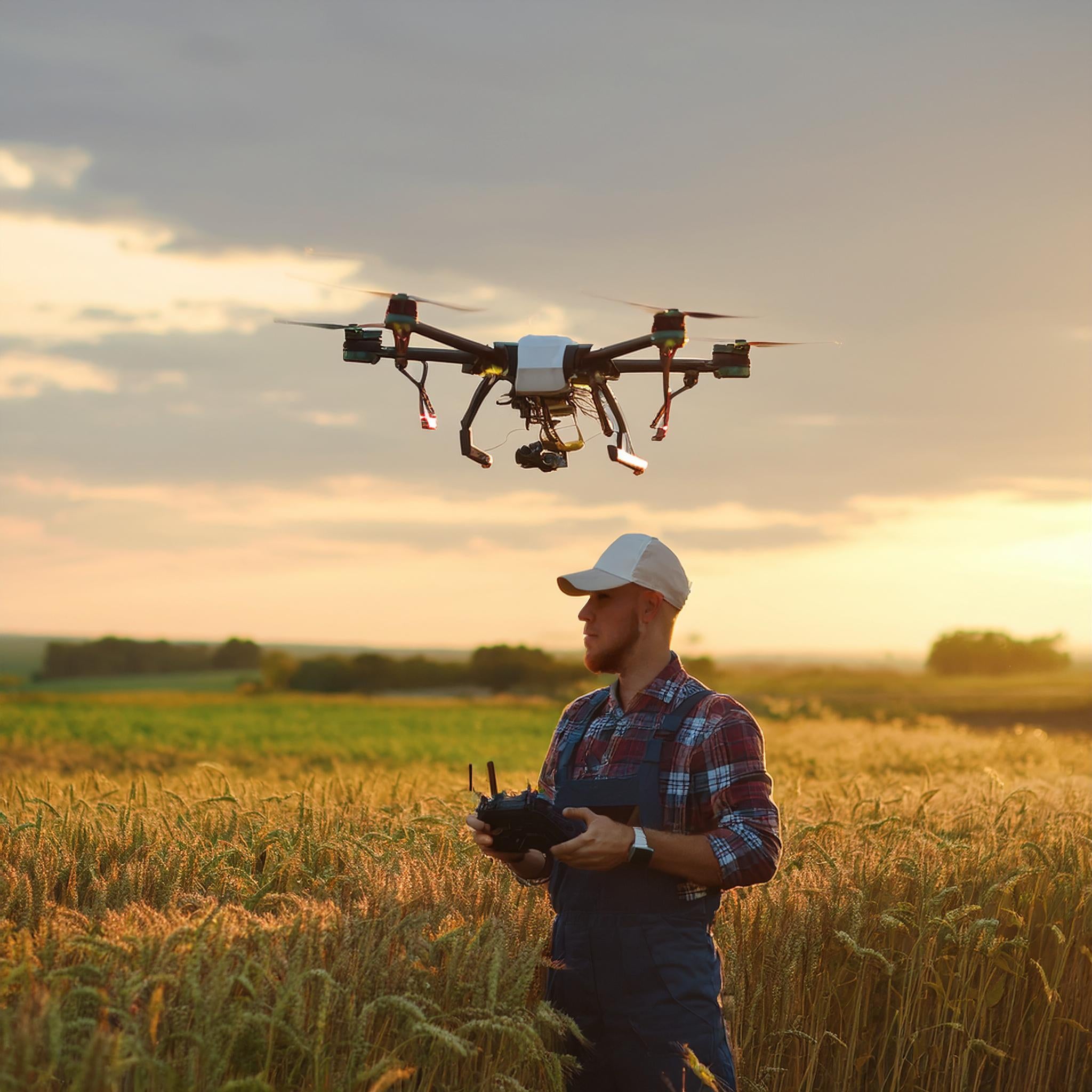
Modern farming demands data-driven decisions. Drone technology provides farmers with insights that were previously impossible or prohibitively expensive to obtain. From crop health monitoring to irrigation analysis, aerial data is revolutionizing agriculture.
NDVI Mapping: Early Detection of Crop Stress
Normalized Difference Vegetation Index (NDVI) uses multispectral imaging to reveal plant health before problems become visible to the naked eye. Our NDVI mapping services detect:
- Nutrient deficiencies
- Water stress patterns
- Disease and pest infestations
- Irrigation system failures
- Soil variability affecting growth
Land Survey & Boundary Mapping
Accurate land surveys are essential for:
- Property boundary documentation
- Topographic analysis for drainage planning
- Erosion monitoring
- Conservation compliance documentation
Coverage Capabilities
Our agricultural drone services can map:
- 500+ acres per day with high-resolution imagery
- Centimeter-level accuracy with RTK positioning
- Same-day analysis for urgent decisions
ROI for Farmers
Typical results from implementing drone mapping:
- 20-30% reduction in input costs (fertilizer, pesticides)
- 15% improvement in yields from targeted interventions
- Significant water savings from irrigation optimization
Get your free agricultural assessment and start optimizing your operation.
Need Professional Drone Services?
Let CAAP Solutions handle your next aerial project with FAA-certified expertise.
Get a Free Quote